Beskrivning
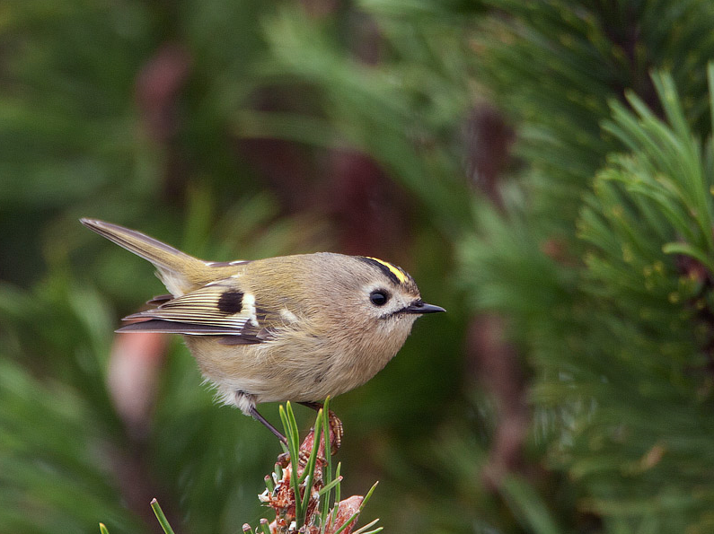
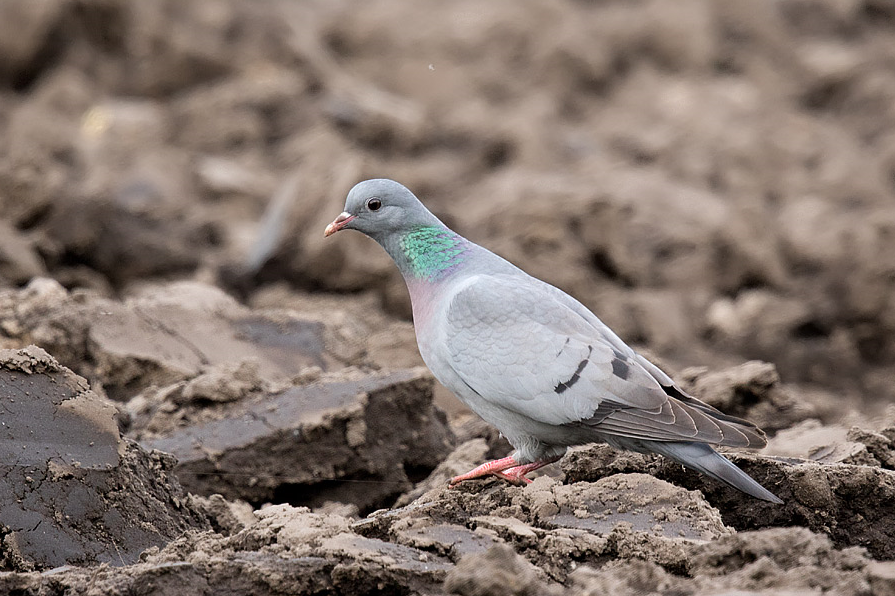
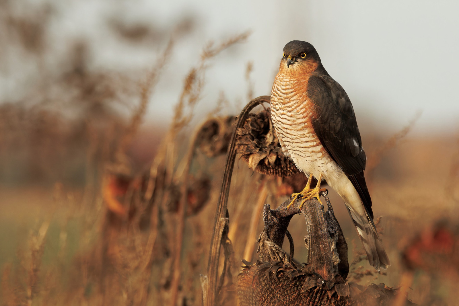
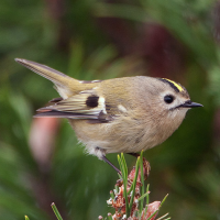
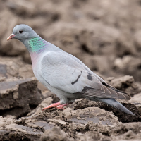
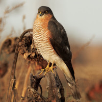
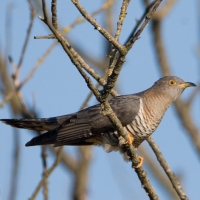
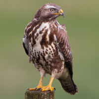
Cann Wood, not to be confused with Cann Woods Plympton (see separate entry), is a Plymouth Local Nature Reserve. Whitleigh Wood is managed by the Woodland Trust. The area is virtually surrounded on all sides by housing estates. Both areas are similar having a mixture of habits including ancient woodland, said to be over 400 years old, hedgerows, scrubland, streams, wet/marshy areas and grass meadows. The woodland contains Oak (Quercus), Ash (Fraxinus), Sycamore (Acer), Sweet Chestnut (Castanea), Beech (Fagus) and Hazel (Corylus), most fallen trees are left to help increase bio-diversity. The grass meadows are only cut during August/September with all mowings removed. Cann Wood is also called the Dr Andy Stevens Reserve in memory of the former Plymouth University lecturer and Plymouth City Council Nature Conservation Officer, who long campaigned for the protection of the site. Resident birds include kattuggla, sparvhök, ormvråk, tornfalk and skogsduva along with common Passerines, during Spring/Autumn passage migrants such as svartvit flugsnappare and rödstjärt are often seen.
Detaljer
Tillgänglighet
Leave central Plymouth on A386 main road signed Tavistock, at large Derriford roundabout take first exit signed Tamerton Foliot. Continue on this road (called Looseleigh Lane), passing straight ahead through two mini roundabouts, at next junction turn Right (unsigned) into Tamerton Foliot Road B3373. When this road gets divided by a long grassed central reservation turn Left into Borrowdale Close and park on street on Right, beside entrance to wood.
Terräng och habitat
Skog , Slätt , Stad/byFörhållanden
Kulligt , Halt , SumpigtRundtur
JaTubkikare behövs?
NejBästa säsong för skådning
Året runtBästa tid för ett besök
Vår , Höst , Sommar , VinterRutt
Asfalterad väg , Bred stig , Smal stig , GrusvägHur ansträngande vandring
Genomsnittlig vandringNås
Till fots , Cykel , BilFågeltorn / plattform
NejExtra information
There are multiple footpaths throughout the woodland. The circular walking route indicated on the map is 4 km.
 ) Lägg till fågelnamen på ditt egna språk, namnen kommer automatiskt översättas till andra användare.