Beskrivning
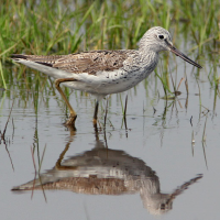
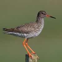
Tamerton Creek runs East to West on the edge of the city, eventually emptying into the River Tamar to the West, South of the creek is a mixture of housing and large industrial units, Ernesettle Creek runs South from the main creek. This area has paths through narrow wooded and open areas, some good areas of mud are exposed at low tide.
Detaljer
Tillgänglighet
The A38 runs through the North part of the city from Marsh Mills in the East to the Tamar Road Bridge in the West, this section of road is called The Parkway. Take the main interchange North onto the B3413, take a left turn onto Ernesettle Lane and then take a right into Northholt Avenue, at next roundabout take the first left (still Northholt Avenue) and park in small pull in on left. The circular route you see on the map below is 2,6 km.
Terräng och habitat
Spridda träd och buskar , Slätt , Flod , Stad/by , Gyttjig strand , StrandFörhållanden
Platt , Risk för högvatttenRundtur
JaTubkikare behövs?
JaBästa säsong för skådning
Året runtBästa tid för ett besök
Vår , Vinter , Höststräck , VårsträckRutt
Asfalterad väg , Bred stig , Smal stigHur ansträngande vandring
Lätt vandringNås
Till fots , Cykel , BilFågeltorn / plattform
NejExtra information
As usual with estuaries, check tide times, 3 hours before until 3 hours after high tide is best.


 ) Lägg till fågelnamen på ditt egna språk, namnen kommer automatiskt översättas till andra användare.