Beskrivning
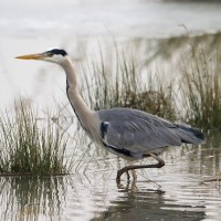
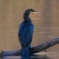
Macclesfield Forest is a woodland on the western edge of the Peak District National Park. If your walk starts or passes the bottom of the valley, Trentabank Reservoir hosts a very large number of breeding gråhäger and Storskarv whose chicks can be seen perched in the nests amongst trees on the opposite side of the water or from the picnic area. gräsand, vigg, skäggdopping, Smådopping, kanadagås are common. storskrake and mandarinand are likely seasonally. Keep an eye out for kungsfiskare that might zip past close to the water. A scope can be useful to pick out more unusual birds and rarities or to get a better look at the comings and goings at the heronry.
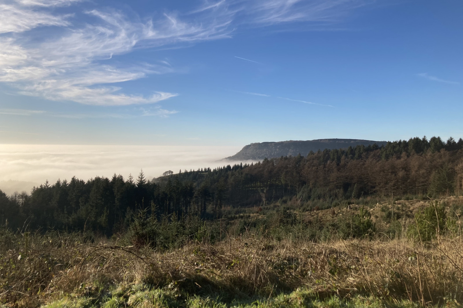
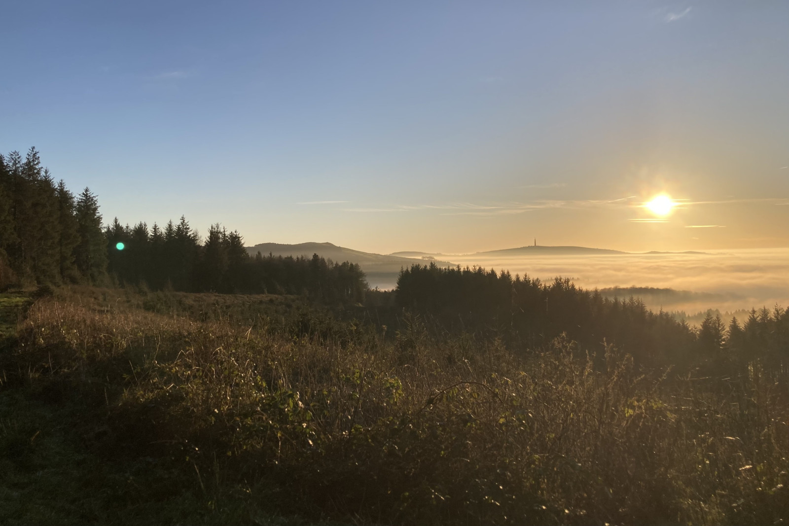
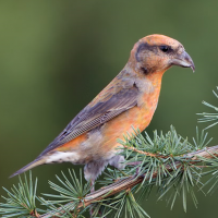
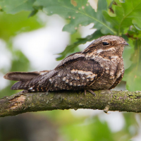
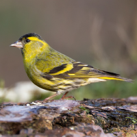
As you walk up the hill, managed pine forest becomes the predominant habitat. Areas seem currently to be cleared in patches such that areas of relatively old pines stand next to fields of younger or recently cut trees. This provides an opportunity to comfortably scan treetops for species such as Mindre korsnäbb, grönsiska, and brunsiska. On a summer evening, nattskärra and morkulla are possible and kattuggla is likely heard.
Detaljer
Tillgänglighet
Macclesfield Forest is located about 5 km southeast of Macclesfield. There is a small amount of roadside parking on Clarke Lane that is convenient at quiet times, however at weekends or later in the day there is plenty of car parking alongside Ridgegate Reservoir or up the hill at Standing Stone Carpark. If all of these options are already full, the paid carpark at Trentapark tends to have a higher turnover but is £6.60 for the full day. Depending on which option you end up in may change the walk you take but any option will provide an interesting day out. Press a P on the map for directions to a parking spot.
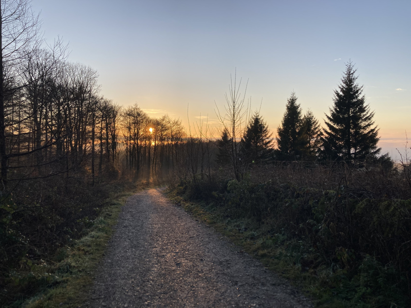
Paths are usually forestry access roads or public roads/lanes so are generally wide and reasonably well paved if steep at times. The circular route shown on the map is about 7 km. Mountain biking is reasonably popular on the multiuse tracks and lanes but riders are usually courteous.
There are toilets and facilities at the Trentabank Carpark.
A bus route can take you from Macclesfield to Langley Village which is about 20-30 minutes additional walk.
 ) Lägg till fågelnamen på ditt egna språk, namnen kommer automatiskt översättas till andra användare.