Beskrivning
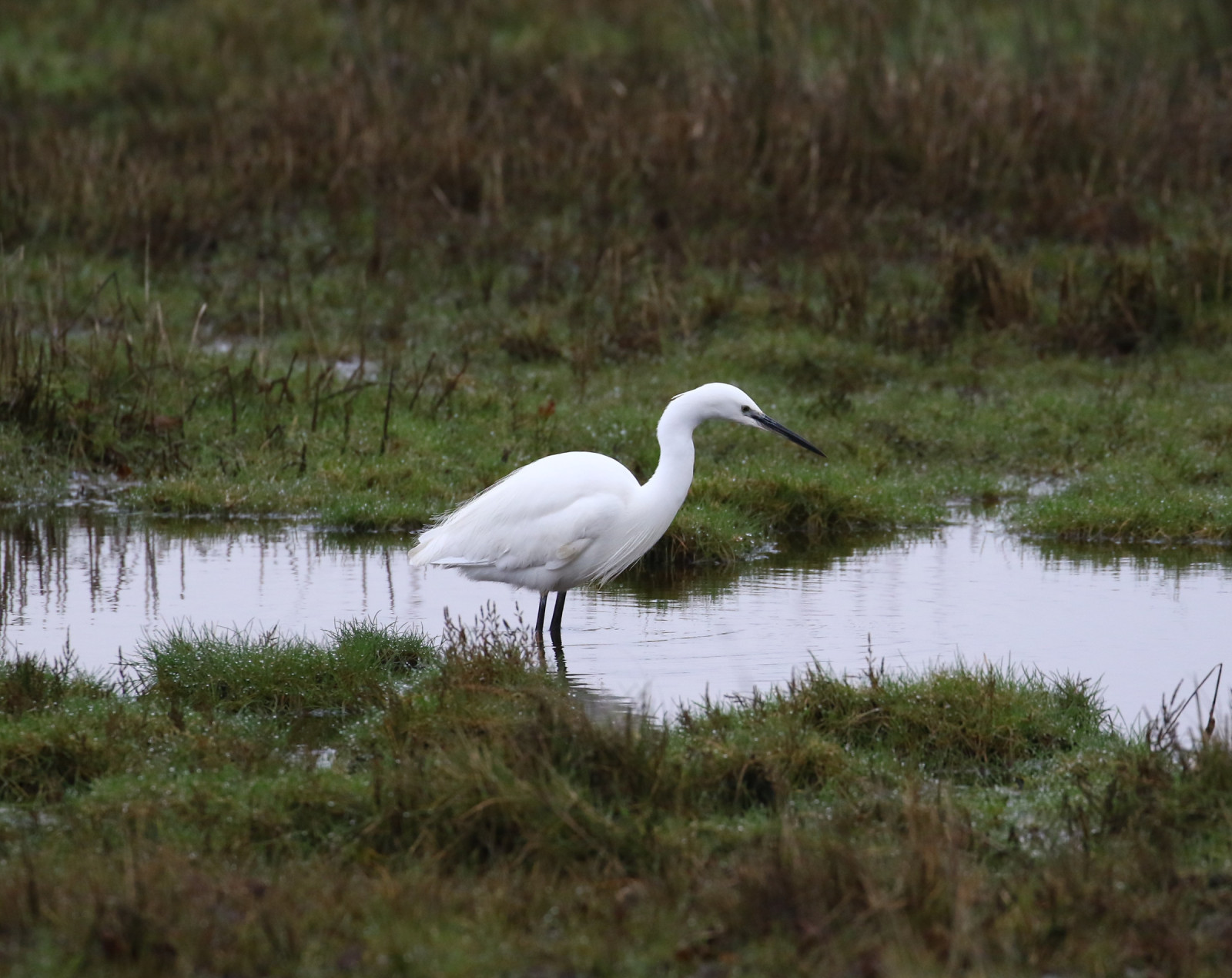
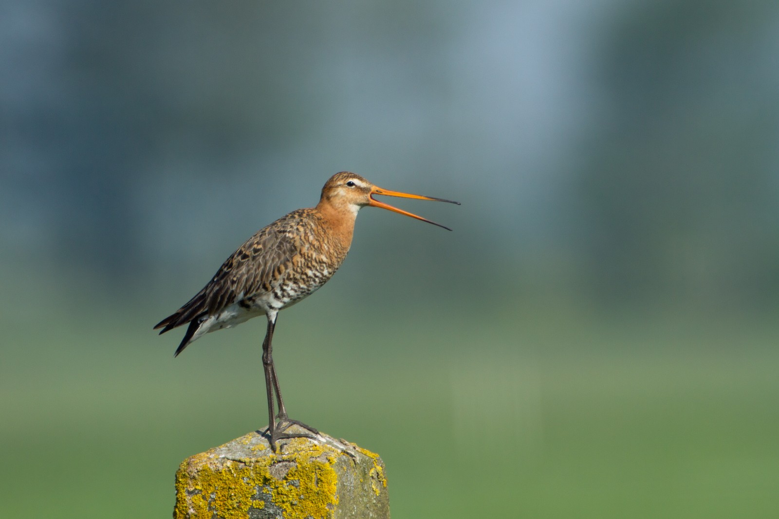
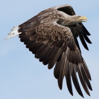
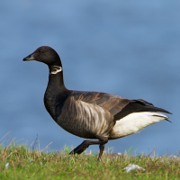
Middlebere Peninsula was only visited by local birdwatchers for many years and stood in the shadow of Arne RSPB reserve (see separate entry), but today with an increasing list of birds more birdwatchers are catching on to how good this site is. The peninsula extends Eastwards into Poole Harbour, with Middlebere Lake to the North and Wych Lake to the South (note Lake in this instance is an estuary). Many of the birds species found at Arne are also found at Middlebere, with the added bonus the Avocet hide has the sun behind you, depending on season blå kärrhök, brun kärrhök, Tornuggla, stenfalk, sparvhök, ormvråk, tornfalk, Pilgrimsfalk, skedstork, skärfläcka, strandskata, kustpipare, kärrsnäppa, rödspov, myrspov, storspov, rödbena, enkelbeckasin, kustsnäppa, gluttsnäppa, prutgås, gravand, bläsand, Kricka, Skedand, småskrake, Silkeshäger, gråhäger, vattenrall.
During Spring and especially Autumn migration look for spovsnäppa, drillsnäppa, skogssnäppa, svartsnäppa, mindre strandpipare, småsnäppa, brushane and småspov, some of which stay for long periods. Migrant landbirds include stenskvätta, gulärla, rödstjärt and buskskvätta. Since the reintroductions of Fiskgjuse in Poole Harbour and havsörn on the Isle of Wight, sightings of these species are becoming more frequent.
Detaljer
Tillgänglighet
The nearest town Wareham is to the North West, leave Wareham on B3075 signed Corfe Castle, on entering Stoborough take first Left into Nutcrack Lane. Continue on this road passing through crossroads, road now becomes Arne Road and passes through heathland. Continue and take Right turn signed Corfe Castle 3 miles, road soon narrows still passing through heathland. After passing Road Liable To Flooding sign and passing over cattle grid the small roadside car park is just ahead (NOTE: do not enter or drive on middlebere farm road or block gateways).
Press STARS on map for more information.
Terräng och habitat
Spridda träd och buskar , Slätt , Våtmark , Flod , Hav / ocean , Vassar , Jordbruk , Gyttjig strand , Strand , SkogFörhållanden
Platt , Sumpigt , Halt , Risk för högvattten , Öppet landskapRundtur
NejTubkikare behövs?
JaBästa säsong för skådning
Året runtBästa tid för ett besök
Vinter , Vår , Höst , Höststräck , VårsträckRutt
Asfalterad väg , Bred stig , Grusväg , Smal stigHur ansträngande vandring
Lätt vandringNås
Till fots , Cykel , BilFågeltorn / plattform
JaExtra information
From the car park to the avocet hide is a 1,7 km walk.
.jpg)

 ) Lägg till fågelnamen på ditt egna språk, namnen kommer automatiskt översättas till andra användare.