
Beskrivning
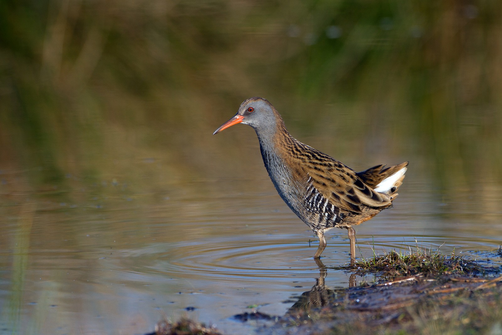
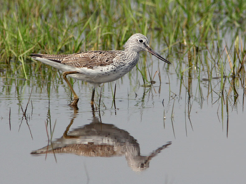
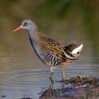
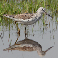
The Estuary runs roughly North East to South West with the village of Averton Gifford at it's head and Bantham at it's mouth, during the Autumn of 2020 a mindre gulbena spent some time on the upper estuary and saltmarsh, so rarities can be expected. On the Northern edge of the estuary is a TIDAL ROAD that runs East to West, further North is farmland with minor roads and footpaths that make a good circular walk.
Detaljer
Tillgänglighet
From Plymouth take the A379 Eastward, passing through Brixton, Yealmpton and Modbury. The road eventually turns more Southerly and arrives at Averton Gifford, where there is a car park/boat park on the right just before the bridges.
Terräng och habitat
Spridda träd och buskar , Skog , Våtmark , Slätt , Dal , Flod , Hav / ocean , Vassar , Stad/by , Jordbruk , Gyttjig strand , StrandFörhållanden
Platt , Kulligt , Öppet landskap , Risk för högvattten , Halt , SumpigtRundtur
JaTubkikare behövs?
JaBästa säsong för skådning
Året runtBästa tid för ett besök
Vårsträck , Höststräck , Vinter , Sommar , Vår , HöstRutt
Asfalterad väg , Bred stig , Smal stigHur ansträngande vandring
Genomsnittlig vandringNås
Till fots , Cykel , BilFågeltorn / plattform
JaExtra information
BEWARE OF HIGH TIDE on the TIDAL ROAD. Rather than do the long circular walk on Northern farmland take short cuts to save time.


 ) Lägg till fågelnamen på ditt egna språk, namnen kommer automatiskt översättas till andra användare.