Beskrivning
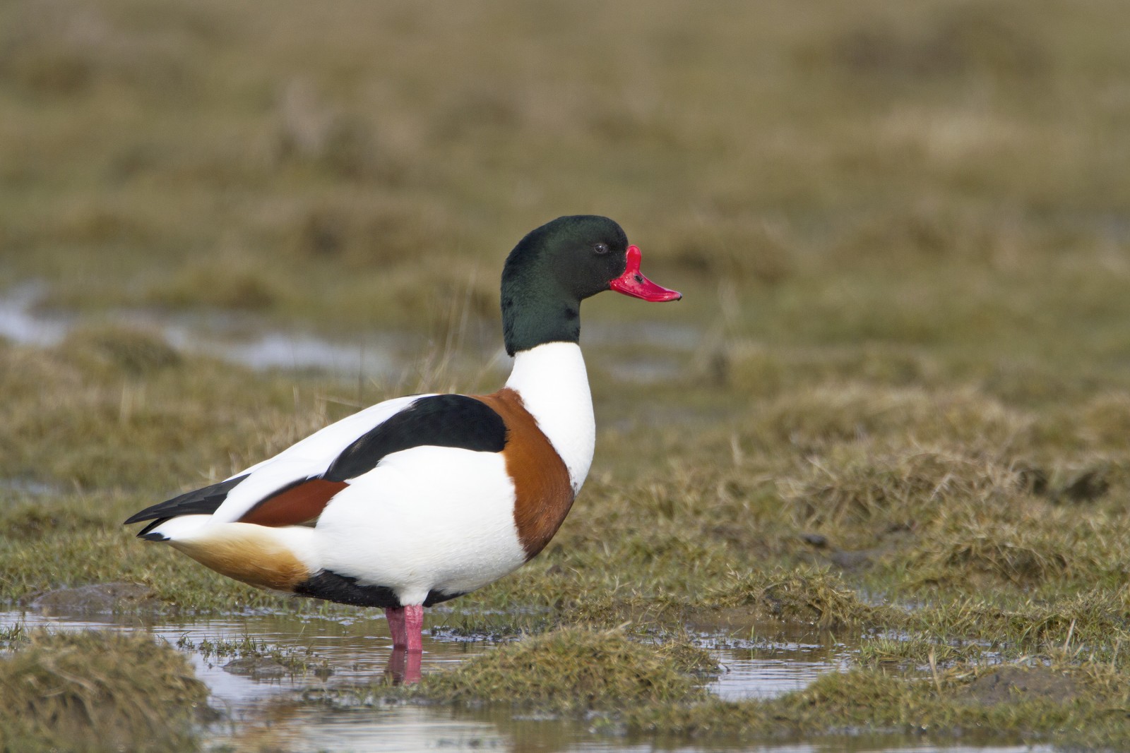
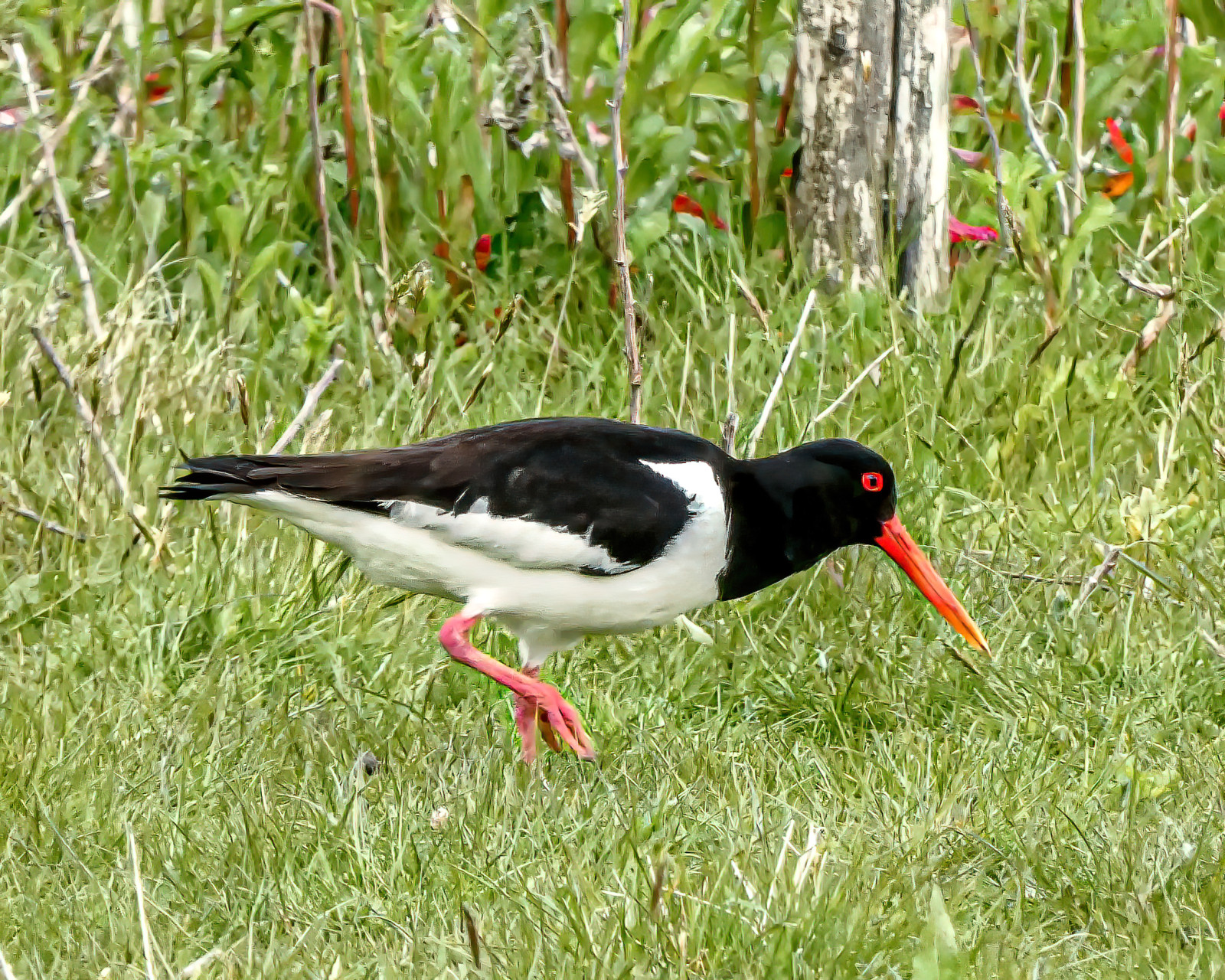
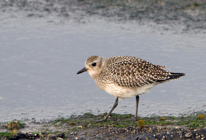
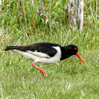
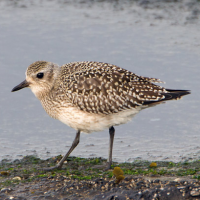
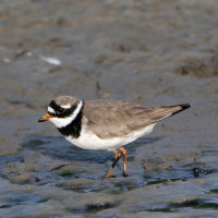
The area immediately North of the Torpoint Ferry (car/bus/pedestrian), can be divided into two distinct areas, the first is two areas of mudflats (called lakes locally) about the size of 4 football pitches at low tide and second a park area with grassland,woodland and allotments.
Detaljer
Tillgänglighet
The Torpoint Ferry (technically a floating bridge) crosses the River from the City of Plymouth, on leaving the ferry there is a one way system towards the left, there is ample on street parking available. On site the start of the walk is on a raised walkway, that eventually turns to sandy and then seaweed covered rocks along Gravesend Lake/Gravesend Hard (point) and Thankes Lake, eventually you get to Thankes Park that has open grassland and woodland walks.
Terräng och habitat
Skog , Slätt , Flod , Hav / ocean , Gyttjig strand , Strand , Spridda träd och buskarFörhållanden
Platt , Sumpigt , Klippigt , Risk för högvattten , HaltRundtur
JaTubkikare behövs?
JaBästa säsong för skådning
Året runtBästa tid för ett besök
Vinter , Vår , Höst , Höststräck , VårsträckRutt
Asfalterad väg , Bred stig , Smal stigHur ansträngande vandring
Genomsnittlig vandringNås
Till fotsFågeltorn / plattform
NejExtra information
BE WARNED, after the raised walkway runs out, the remaining walk on sandy/rocky/slippery areas is below the high tide point, please check high tide times before. Plus the line of 4 STARS on map indicates the moorings (called Trots here) that are good for resting Terns.

 ) Lägg till fågelnamen på ditt egna språk, namnen kommer automatiskt översättas till andra användare.