
.jpg)
Beskrivning
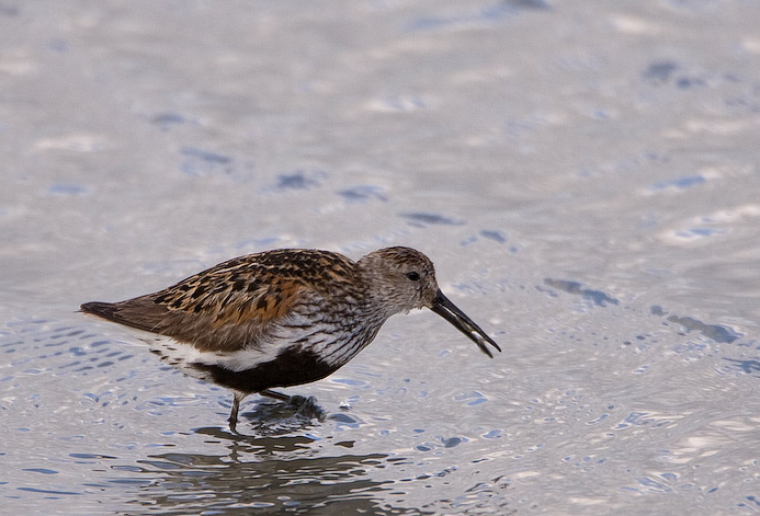
The Torpoint Peninsula area can be walked on footpaths through farmland/woodland and along roads with and without footpaths. It includes Wilcove Lake (small estuary), Jupiter Point (Royal Navy Seamanship School), the town of Torpoint itself and open farmland with a possibility of häcksparv and skedstork throughout the walk.
Detaljer
Tillgänglighet
The town of Torpoint is on the west bank of the River Tamar (at this point called the Hamoaze) reached by Pedestrian/Car ferry from The City of Plymouth. On leaving ferry continue on A374, which slowly climbs out of the town, when it flattens out turn left onto Trevol Road signposted HMS Raleigh (Naval Camp), continue on this road and look for a pull in on right just as naval camp ends (signed Horson Cemetery). Park here and continue on foot following the map. The total length of the route shown on the map is about 12 km.
Terräng och habitat
Skog , Spridda träd och buskar , Slätt , Flod , Stad/by , Jordbruk , Gyttjig strand , StrandFörhållanden
Kulligt , Klippigt , Öppet landskap , Risk för högvattten , Sumpigt , HaltRundtur
JaTubkikare behövs?
JaBästa säsong för skådning
Året runtBästa tid för ett besök
Vinter , Sommar , Vårsträck , Vår , Höst , HöststräckRutt
Asfalterad väg , Bred stig , Smal stigHur ansträngande vandring
Genomsnittlig vandringNås
Till fots , Cykel , BilFågeltorn / plattform
NejExtra information
Pay attention to STAR ICONS in village of Wilcove.


.jpg)


 ) Lägg till fågelnamen på ditt egna språk, namnen kommer automatiskt översättas till andra användare.