
Beskrivning
Newton Hills State Park consists of more than 1,000 acres of mostly eastern deciduous forest, with some open shrubby woodlands and small grassland areas. The park sits at an elevation of 1,309 feet (399 m). Glaciers created this narrow strip of rolling hills and forest that is part of the geological formation called the Coteau des Prairie, which extends along the eastern boundary of South Dakota. The area's forest, amidst a vast open prairie, makes this park very good for woodland birds in general. Over 200 species of birds visit the area each year.
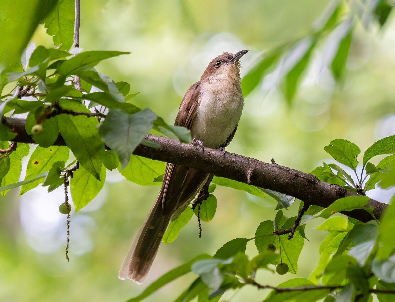
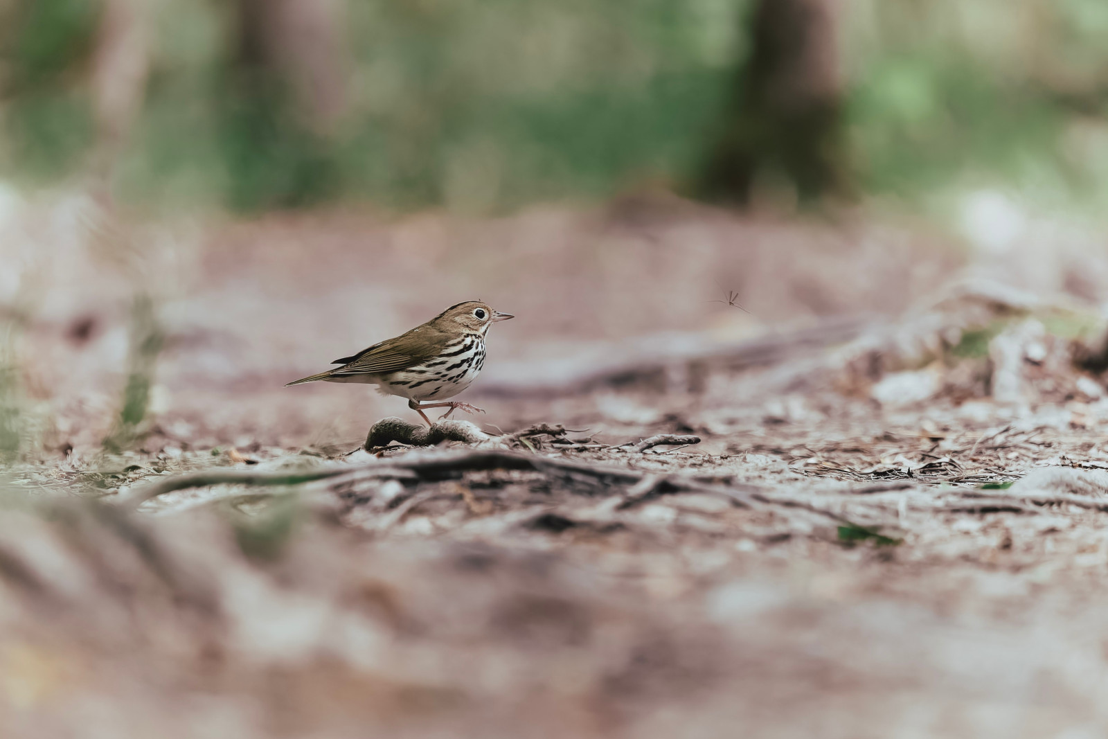
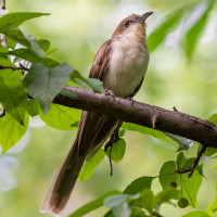
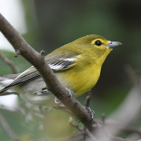
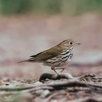
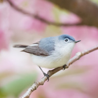
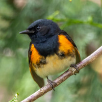
Birds you can observe include Barred Owl, Yellow Warbler, American Redstart, Ovenbird, Common Yellowthroat, Eastern Towhee, Eastern Whip-poor-will, American Woodcock, Blue-grey Gnatcatcher, Yellow-bellied Sapsucker, Yellow-throated Vireo, Scarlet Tanager and 7 species of woodpecker. Both Yellow-billed Cuckoo and Black-billed Cuckoo nest within the park. Newton Hills is also very good for migrating woodland birds. During spring migration it is possible to observe more than 20 species of warblers.
Detaljer
Tillgänglighet
Newton Hills State Park is located 7 miles south of Canton, and about 30 miles southwest of Sioux Falls. From Sioux Falls, take Interstate 29 south to exit 73 (Highway 42). Head west on Highway 42 for about 5 miles, then turn south on Newton Hills Road. Follow the signs for the park entrance, which is well marked. Press a P on the map for directions to a car park. The park is open Year-round. The entry fee for Newton Hills State Park is $10 per day for South Dakota residents and $15 per day for non-residents (see link for online tickets below).
There are over 7 miles of hiking trails in the park through wooded ravines and bluffs that border the Big Sioux River. The walking route shown on the map is about 5 miles. You can easily shorten or lengthen the route as there are many other trails to explore. Good spots for birding are the areas around Horse Camp (1) and Sargeant Creek (2).
 ) Lägg till fågelnamen på ditt egna språk, namnen kommer automatiskt översättas till andra användare.